
Hampton Neighbors by Address
The first Hampton block question is usually a parcel question, not a name-search question. The city’s map and property tools can show which polygons touch a target parcel, what situs and legal-description fields belong to each polygon, and what owner or taxpayer information is shown in the public property record. Each source answers a distinct block question. Keep a list of parcel IDs rather than combining names into a claim that the city does not publish.
| Source | What It Shows About a Block | Access |
|---|---|---|
| Hampton CivQuest and Assessor | Adjacent parcel geometry, situs, owner or taxpayer fields, legal description, class, and current record links | Online property route and Assessor counter |
| Hampton transfer PDFs | Recent block changes by property ID, address, grantor, grantee, class, date, and amount | Calendar-year PDFs for 2020-2026, then Clerk verification |
| Registered Neighborhood Organizations | Neighborhood coverage, organization name, and renewal or listing context | Public organization directory, not a membership roster |
| Hampton Registrar | Lawful voter-status and public-list access channels, plus precinct context | Authorized status route or statutory request |
| Library and archive sources | Historical street households, structures, notices, maps, and neighborhood vocabulary | Special Collections, catalog, and archive routes |
Hampton ownership is not Hampton occupancy. A tax mailing address can be elsewhere, a deed grantee can be a trust or estate, and a historic directory household describes a particular year. The safest way to identify adjacent Hampton parcels is to state exactly what the source says: owner, taxpayer, recorded party, historical householder, lawful voter field, or community organization. That keeps a property map from becoming a false resident list.
Map Hampton Neighbor Parcels
Use Hampton CivQuest GIS as the spatial starting point. Find the target street address, then save its parcel ID, situs, legal description, street frontage, and map position. Select each adjoining polygon one at a time. A spatial boundary is more reliable than a nearby street number because sequential addresses may not be on the same side of a block or may sit on differently shaped lots.
- Enter the Hampton address in CivQuest and compare the selected parcel with the street frontage and legal description. Keep the target parcel ID before opening any other source.
- Click every adjacent Hampton polygon and record its parcel ID, situs, owner or taxpayer field, property class, and map relationship. Do not merge each polygon into one combined household claim.
- Open the adjacent property records and transfer history. The legacy field guide identifies General, Improvements, Transfer History, Assessments, Tax Information, City Resources, Scanned Documents, and Crime Statistics tabs, although live availability varies by parcel.
- Use City Services for My Address for the target and adjacent Hampton addresses to compare district, precinct, zoning, public-service, and neighborhood-commission context. Preserve the map date because these layers can change.
The workflow is address → target parcel → adjoining polygon → owner or taxpayer field → transfer record → district or organization context. For a whole named street rather than the immediate Hampton block, the Hampton by-street directory follows the longer address-record chain.
For a guided Hampton parcel question, the Assessor counter and 311 can explain current property or map routes. The Circuit Clerk can explain recorded-instrument procedure at 757-727-6105, and the Registrar can explain the separate voter-list route at 757-727-6218. Ask each office which fields are public at the counter before relying on a map display.
Note: A Hampton parcel ID and legal description remain useful when a displayed street address, mailing address, or neighborhood label changes.
Hampton Neighbor Corner Limits
Touching polygons do not always mean private Hampton parties. A corner parcel can border more than one street and several lots. A right-of-way can sit between a parcel and an address that looks close on a map. Hampton is also water-boundary heavy, with creeks, wetlands, shoreline, and public infrastructure affecting the map shape. A polygon for water or a public right-of-way is not a household and should not be treated as one.
Compare the actual parcel boundary, legal description, frontage, and class before calling any land adjoining. For older Hampton property, plats and surveys can be important because Elizabeth City County survey and plat material reaches 1761-1883 at the Library of Virginia. A legal description may remain stable while a road name, number, postal label, or neighborhood name changes. The map provides location context, but a title question still belongs with the Hampton Circuit Court Clerk and the recorded instrument.
Hampton Block Transfer History
Hampton’s Property Transfers page supplies calendar-year PDFs for 2020 through 2026. Each row can provide a property ID, address, grantor, grantee, class, transfer date, and amount. That makes the PDFs a useful way to see which parcels around a Hampton address changed hands in a defined period. It does not prove who occupies the structure, whether title remains current, or what the entire deed says.
For a stronger Hampton block history, carry the property ID and names from a transfer row to the Hampton Circuit Court Clerk. Confirm the recorded parties, roles, date, book and page or document number, consideration, and legal description. SRA/COVERS access can show an index, but image access may require a local clerk-authorized subscriber agreement and payment. The online database is not the official record. A transfer row is a lead into the instrument, not a substitute for it.
Hampton’s Circuit Court also promotes the free VA Deed Alert service, which accepts name variations and Tax Map or Parcel IDs for filing notifications. An alert can flag a later filing; it does not establish title or prevent fraud.
Hampton Neighbor Organizations
Hampton’s registered-organization directory adds a community layer after the parcel work. It can help identify the organization or district connected with a Hampton block, but it does not make member names public. Use the official listing as a coverage and contact lead. The city’s current geography also uses ten neighborhood districts: Northampton, Magruder, Mercury Central, North King Street, Fox Hill, Buckroe, Phoebus, Downtown, Greater Wythe, and Aberdeen. Districts are not ZIP codes and are not parcel-title boundaries.
| Documented Hampton organization | Appropriate block use |
|---|---|
| Buckroe Improvement League | Use its name as a local-history, community-coverage, or official-directory search term. |
| Phoebus Partnership | Use the organization and Phoebus labels when checking community context for a Hampton address. |
| Olde Hampton Community Association | Use the official organization name to identify a possible local context, not a list of households. |
| Olde Wythe Neighborhood Association | Pair the name with Greater Wythe district records, maps, or public notices when relevant. |
| Aberdeen Garden Historic and Civic Association | Use the documented name for historical and civic context around a Hampton block. |
The Hampton registered-neighborhood-organizations page is the source for the city’s organization listing and registration context.
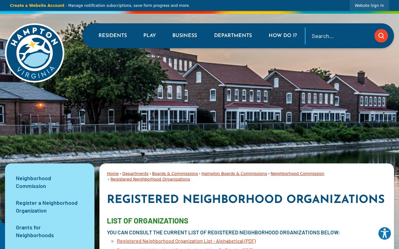
The official directory supports a Hampton neighborhood-context check without implying that its listed organizations publish member rosters.
Note: A Hampton organization name can guide a focused archive or public-notice search, but it is not proof that an individual belongs to that organization.
Hampton Neighbor Voter Rules
Voter information cannot be used as an open Hampton neighbor finder. The Virginia Citizen Portal is for the voter or an authorized user and requires first name, last name, date of birth, the last four digits of the Social Security number, and locality. It includes a certification that the requester is authorized. Its status function cannot be used to build an arbitrary street list.
The public registrar-list statute allows defined inspection fields and excludes sensitive information, including Social Security data, day and month of birth, and protected residence information. A full voter-list copy is limited by Va. Code §24.2-405 to stated requester categories, purposes, and distribution limits. The Hampton Registrar can explain office inspection and current procedures. A precinct may help explain Hampton election geography, but it does not establish a current household connection.
Hampton Neighbor History Clues
To reconstruct an older Hampton block, compare one street segment across Hill directories, census schedules, newspapers, deeds, and maps. Hill directory material documents local households from 1897-1929, with a later 1944-45 catalog title, while printed place names may say Phoebus, Old Point, Kecoughtan, or Elizabeth City County. Preserve the printed place label. Hampton became an independent city through the 1952 consolidation, so a modern search term may hide an older catalog entry.
Sanborn maps are especially useful for Hampton neighbor context. The Library of Congress holds Hampton sets for 1885, 1891, and January 1916, and Hampton Library identifies local Sanborn reels into later decades. A 1916 sheet can show a structure’s footprint, use, street context, and nearby structures. It normally cannot identify the people inside. Pair it with a dated directory, census household, newspaper notice, or deed before assigning a name to a historic Hampton address.
The Hampton Public Library’s Virginiana and Genealogy collection is the local route for directories, maps, obituaries, newspapers, wills, deeds, and vital-reference finding aids. Special Collections can explain which reel, index, or map guide fits a named historical question. Hampton History Museum collections, Hampton University Archives, Library of Virginia plats, deeds, and chancery material, and FamilySearch films are additional historical channels when the library lead is not enough.
Hampton Neighbor Privacy Limits
Official Hampton records and commercial neighbor-lookup categories do not carry the same weight. A city parcel, transfer PDF, recorded instrument, or organization directory identifies the custodian, fields, and date. A commercial category can combine old and new data without showing its source, role, or update point. For a Hampton block question, use the official record to confirm a narrow fact, then return to the responsible custodian when the field is unclear.
| Official Hampton or Virginia channel | Commercial neighbor-lookup category |
|---|---|
| Names the source record, its access limit, and its date or reference number. | May combine public and other data with uncertain currency or provenance. |
| Separates owner, taxpayer, recorded party, organization, and lawful voter fields. | May blur distinct roles into a single apparent profile. |
| Allows a focused correction, redaction, or access question to the custodian. | Does not replace a Hampton office’s decision or the underlying record. |
Virginia protects confidential-address participants, protected voter information, and other restricted data. The Address Confidentiality Program keeps qualifying participants’ actual address, telephone number, and minor-child information confidential. Do not try to reverse a substitute address. For an existing Hampton block-limited record, the FOIA request route works best when it names the department, street segment, date range, and record type. FOIA does not require the city to create a new neighbor directory.
Lawful use. Hampton neighbor research can support personal, civic, and historical understanding. Do not use parcel, address, voter, or organization information to stalk, harass, intimidate, or harm anyone.